 Safekipedia
Duchy of Aquitaine
Adapted from Wikipedia · Adventurer experience
The Duchy of Aquitaine was a historical fiefdom in western, central, and southern parts of what is now France, south of the river Loire. Over time, its size and name changed often, sometimes including much of what is now southwestern (including Gascony) and central France.
It began in 507 as part of Francia after the Salian Franks conquered Aquitaine following the Battle of Vouillé. Its borders were based on old Roman areas called Aquitania Prima and Secunda. Later, it became part of the Carolingian Empire and then was absorbed into West Francia after the partition of Verdun in 843.
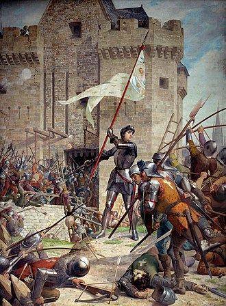
In 1153, a larger Aquitaine began to follow the Angevin kings of England. This led to a long struggle between the French monarchs and the Angevins over land in France. By the mid-1300s, only bigger areas like Guyenne and Gascony were still held by the Angevins. The Hundred Years' War ended with the Kingdom of France taking full control of Aquitaine in 1453, adding much of its land to the French royal domain.
History
Gallia Aquitania was ruled by the Visigoths in the 400s. In 507, the Franks, led by Clovis I, took over after a battle. For much of the 500s and early 600s, Frankish kings ruled it directly. In 587, it was split between two kings, Childebert II and Guntram, under the Treaty of Andelot.
Later, the area became more independent. Around 700, Odo the Great was the first known duke. He made peace with Charles Martel and defeated invaders called the Moors in a battle. Leaders after him faced challenges from Frankish rulers and others, which led to changes in who was in charge.
After the Frankish conquest in 769, the land was organized by Charlemagne. His son Louis became king of Aquitaine in 781. Over the next centuries, many kings and dukes took control. Women in this area had more rights than in many other places in Europe at the time.
Eventually, the area became linked with England through marriages and inheritance. By the 1150s, it was part of the Angevin Empire under the Plantagenet dynasty. This led to conflicts between England and France, called the Hundred Years' War, over control of the region. The war ended in 1475 when France took full control of Aquitaine.
Geography and subdivisions
Further information: Guyenne, Gascony, and Aquitaine
The Duchy of Aquitaine changed over time. It once included the Duchy of Gascony and the County of Toulouse, which is now part of Occitanie. After 1271, most of the duchy became the region of Nouvelle-Aquitaine, with some parts in Pays de la Loire, Centre-Val de Loire, and Auvergne-Rhône-Alpes.
In the early middle ages, Aquitaine touched the Pyrenees to the south and bordered Bretagne, Anjou, Blois, and Bourbonnais to the north. By the 13th century, these northern areas had become part of the Kingdom of France.
The main parts of Aquitaine included areas like the County of Poitou, County of La Marche, County of Angoulême, County of Périgord, and the Duchy of Gascony. The County of Toulouse was also part of it for a time.
Images
Related articles


This article is a child-friendly adaptation of the Wikipedia article on Duchy of Aquitaine, available under CC BY-SA 4.0.
Images from Wikimedia Commons. Tap any image to view credits and license.