 Safekipedia
Judaea (Roman province)
Adapted from Wikipedia · Explorer experience
Judaea (Roman province)
Judaea was a place ruled by the Romans a long time ago, from the year 6 to the year 135. It included areas like Judea, Idumea, Peraea, Samaria, and Galilee. Some parts of the coastal plain in the southern Levant were also part of it.
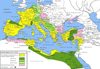
The Romans first took control of this area in 63 BC, but it became a Roman province in 6 AD. The Roman emperor Augustus decided to rule it directly then. The capital city was moved from Jerusalem to Caesarea Maritima.
Many important events happened here. One was when a Jewish rebel named Judas of Galilee led an uprising. Another was the crucifixion of Jesus, which started Christianity.
People lived by farming, growing crops like wheat, barley, olives, and grapes. They also grew herbs, vegetables, and legumes. Some farmers even began to grow rice.
The Romans made special coins for people to use. These coins had symbols like palm trees and ears of grain instead of pictures of Roman leaders, to respect Jewish traditions. Only six leaders made these coins, and they were all made in Jerusalem.
Judaea was an important part of the Roman world because it controlled land and sea routes to Egypt and helped protect the empire from the Parthian Empire.
Images
Related articles


This article is a child-friendly adaptation of the Wikipedia article on Judaea (Roman province), available under CC BY-SA 4.0.
Images from Wikimedia Commons. Tap any image to view credits and license.